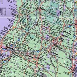
A Planimetric map is a surface map with no relief features, an example of this would be a street map. Planimetric maps indicate only the horizontal postions of features without the inclusion of elevation, meaning it has no indication of vertical position. This is a map of a portion of western Florida showing the roads and no elevation or relief features. It only shows the horizontal positioning of features such as cities and different roads.
No comments:
Post a Comment